Days 104-106, July 30-August 1: Zeros in Ashland and A New Direction

Start: Mount Shasta - Mile 1501.2
End: Ashland - Mile 1718.7
Miles: 0
Ascent: 0 | Descent: 0
It’s pretty crazy how quickly everything can change.
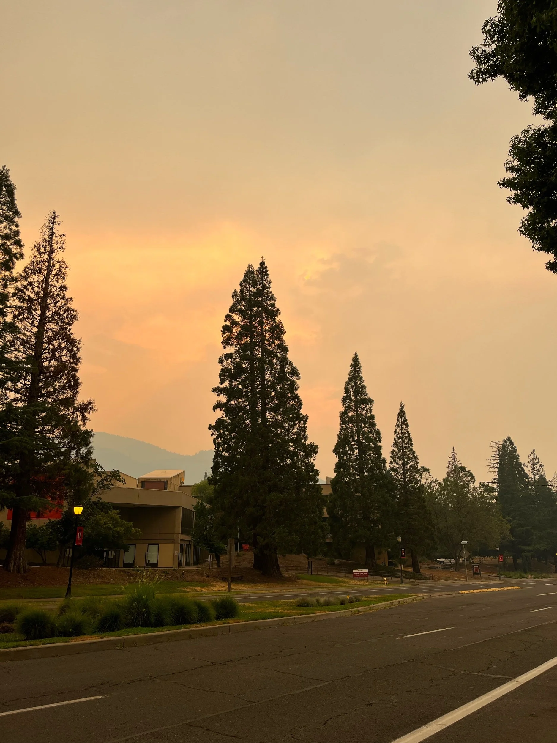
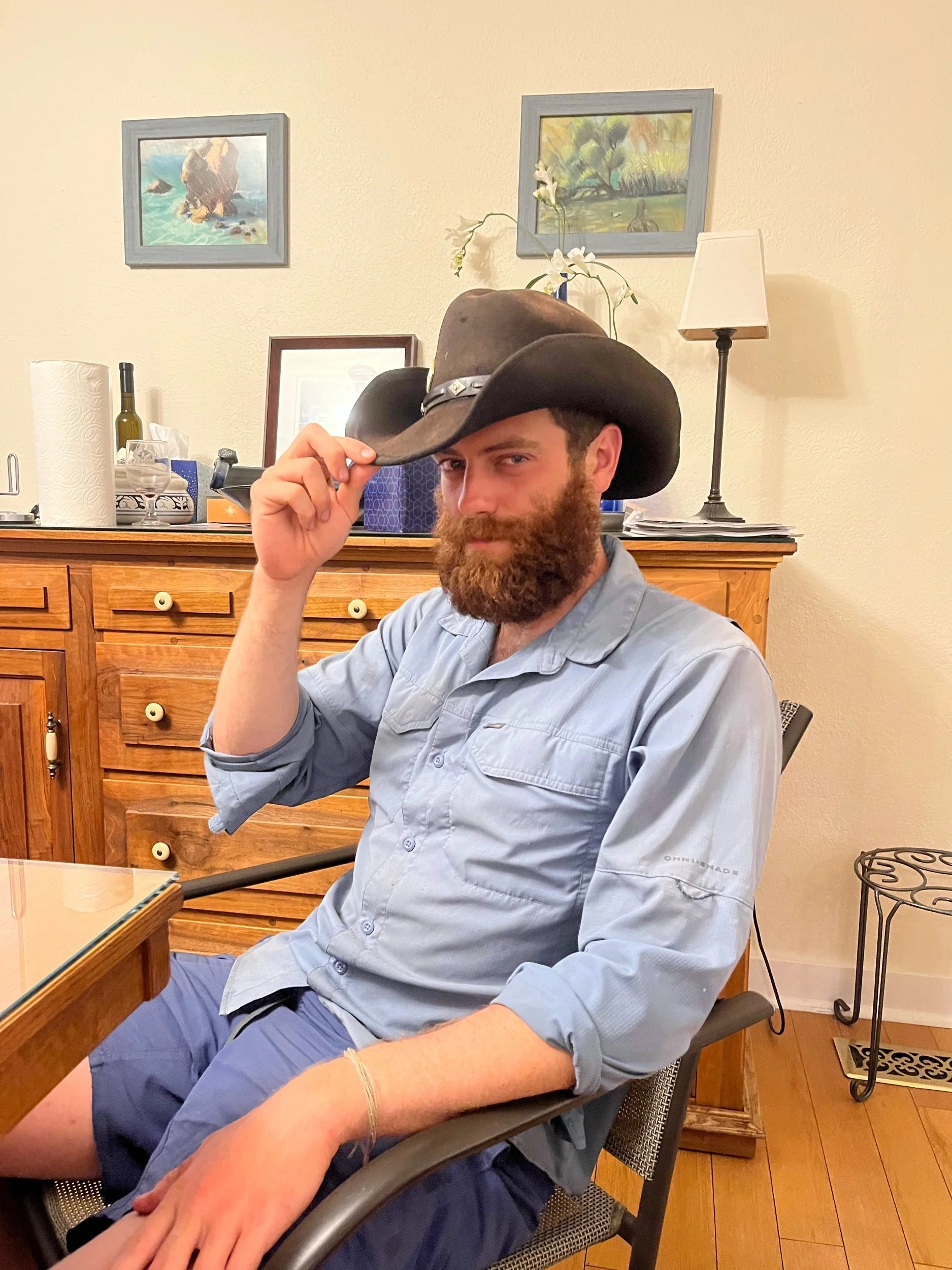
I woke up in Mount Shasta to the news that some fires had erupted and grown rapidly overnight just north of me, near the town of Seiad Valley. The PCT community was already buzzing online, with several people making posts recommending skipping the area. Shortly after, the PCTA officially closed down the section of trail and things got very real. In the hotel room with Commander and Logic, we discussed what we each thought we would do. The options I felt that were in front of me where: to hike 100 miles north to Etna (and towards the fire and smoke) and then skip ahead of the closure, or skip straight from Mount Shasta past the closure to Ashland, OR. I decided on the latter, and contacted Morgan/Blaze Physio as she had mentioned to me the day before that she was already planning to head to Ashland that day. She said she had room in her van and I was welcome to join- phew!
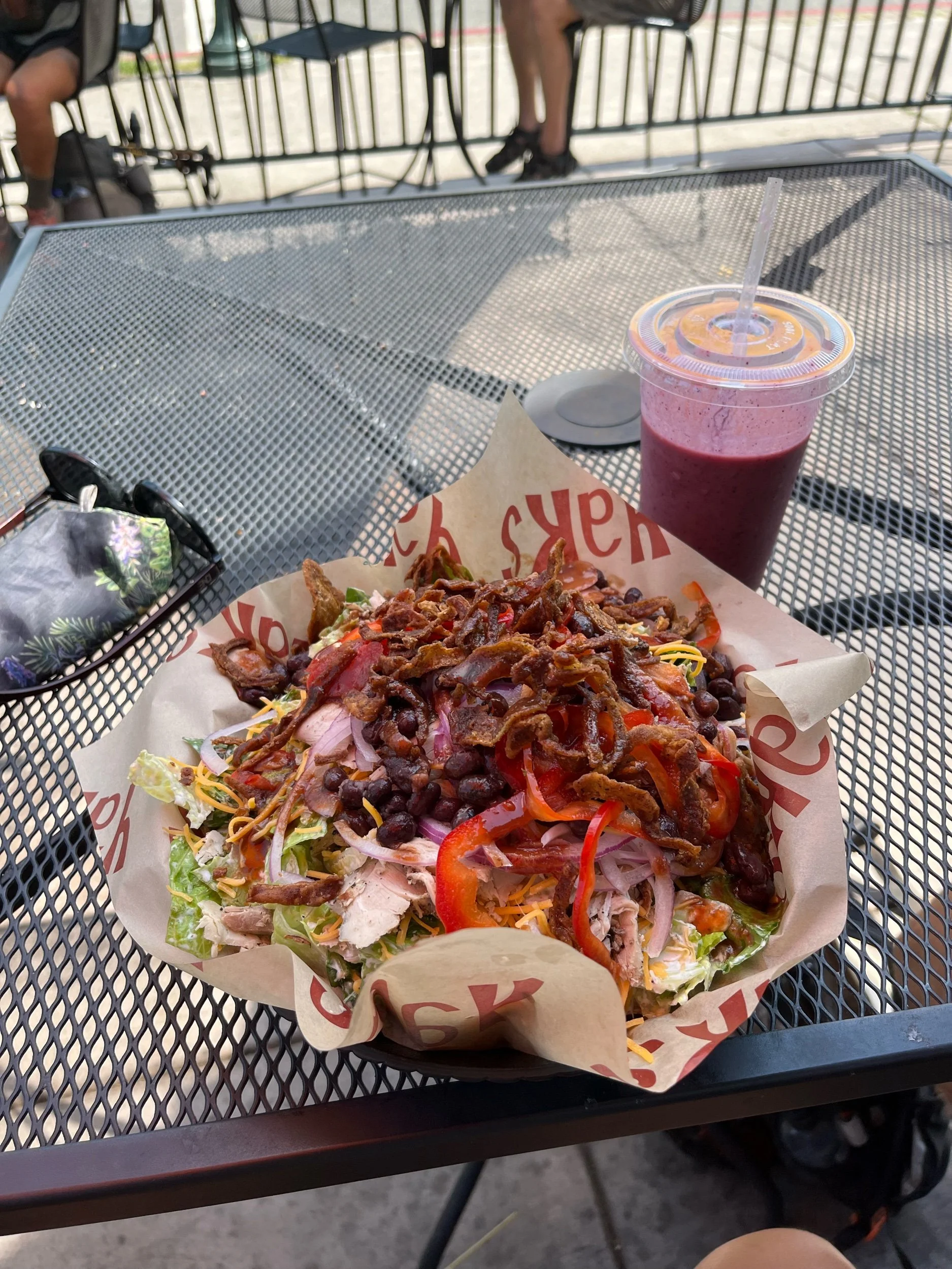
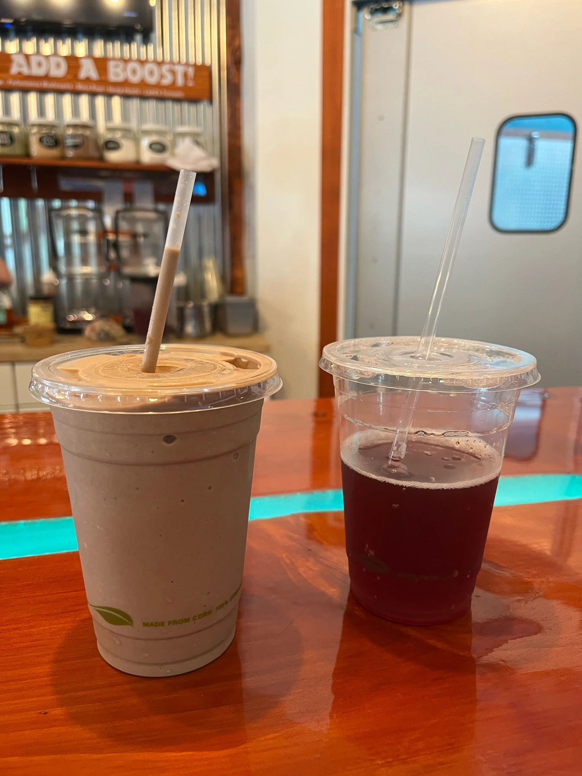
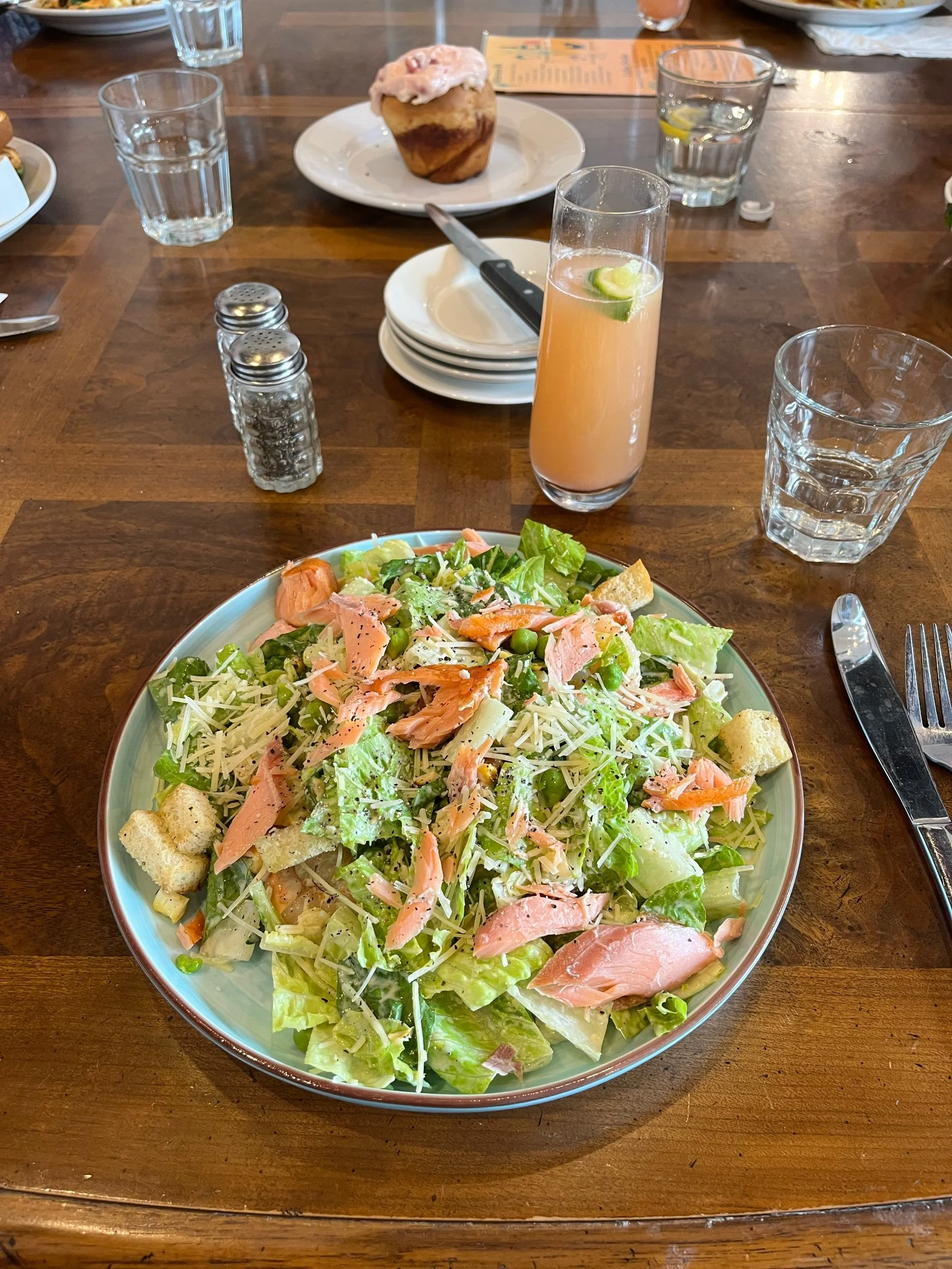
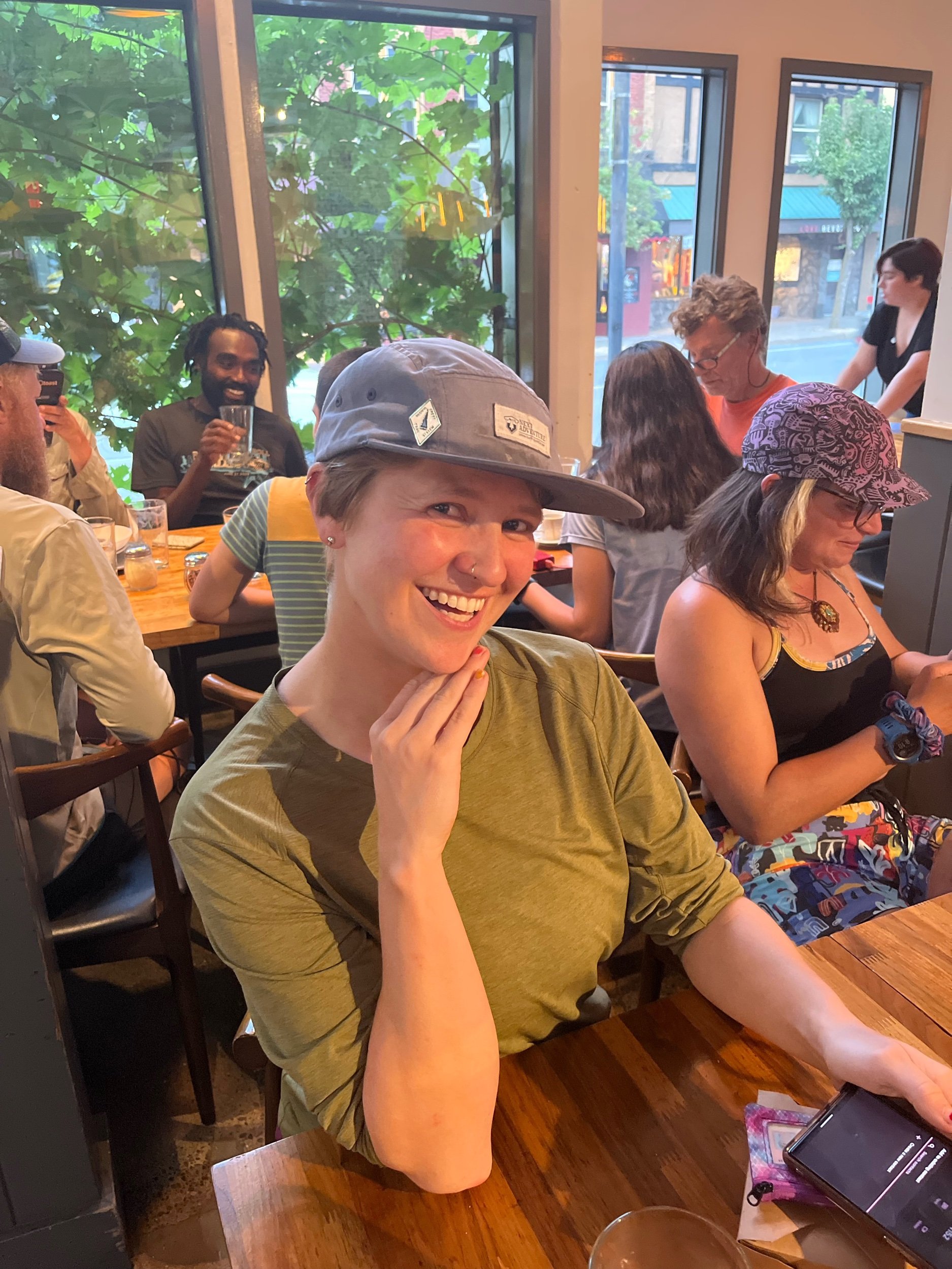
I packed up my bag and left the B&B to go grab lunch before leaving town. I had a tasty BBQ chicken salad and hung out with a handful of hikers who were also at the restaurant, including Machine, who I had met but not talked to much before. After lunch I got another smoothie and kombucha, and soon Morgan picked me up.
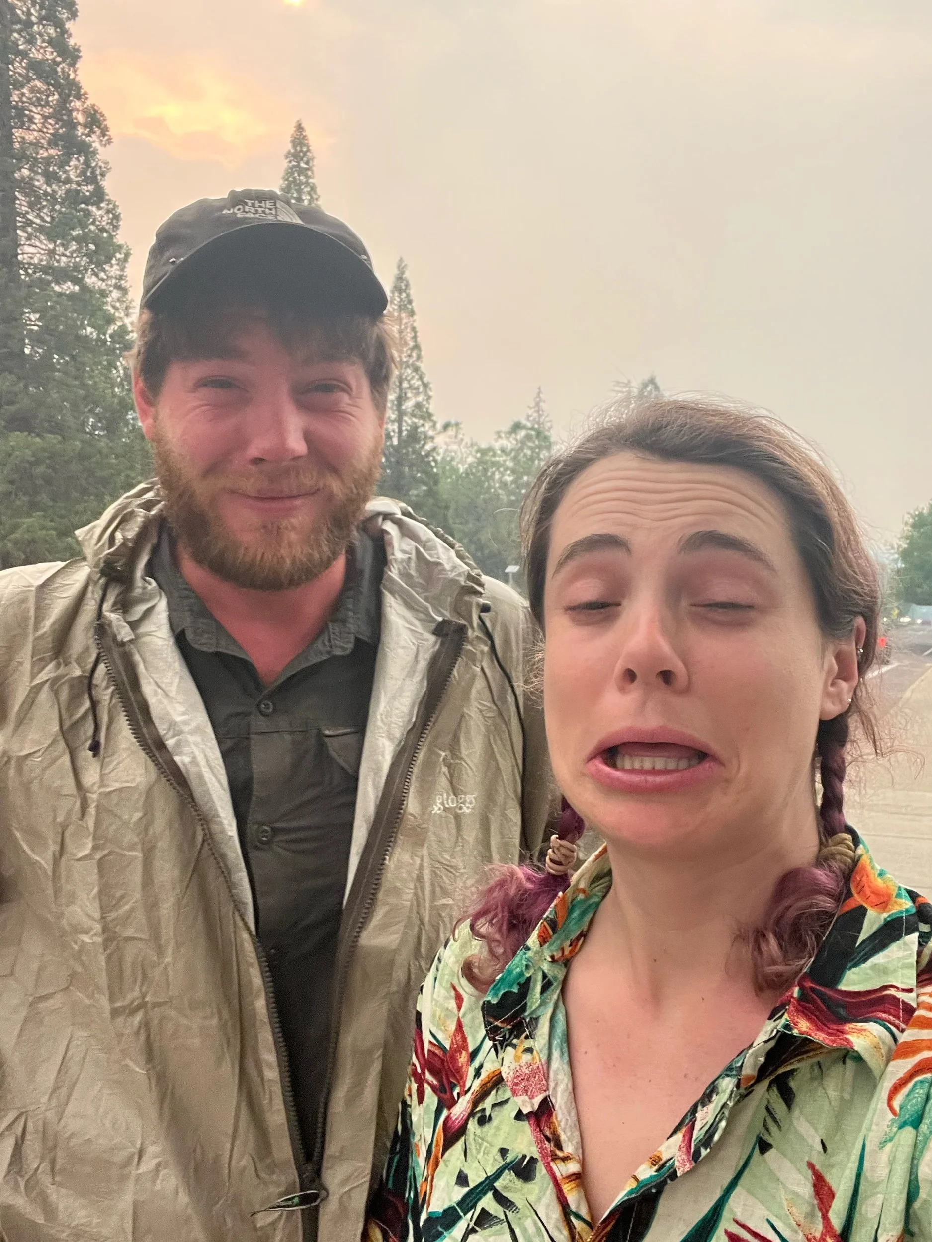
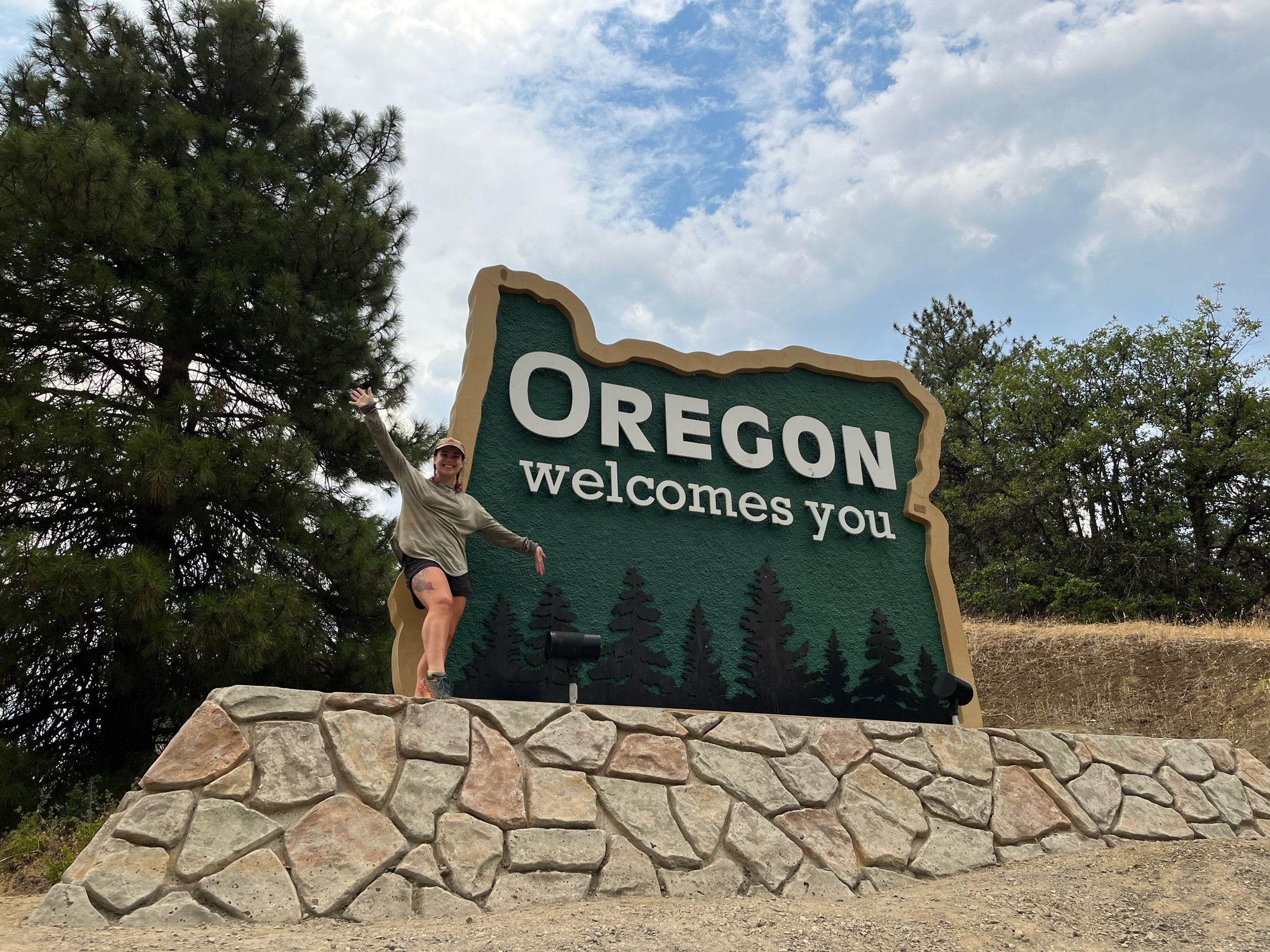
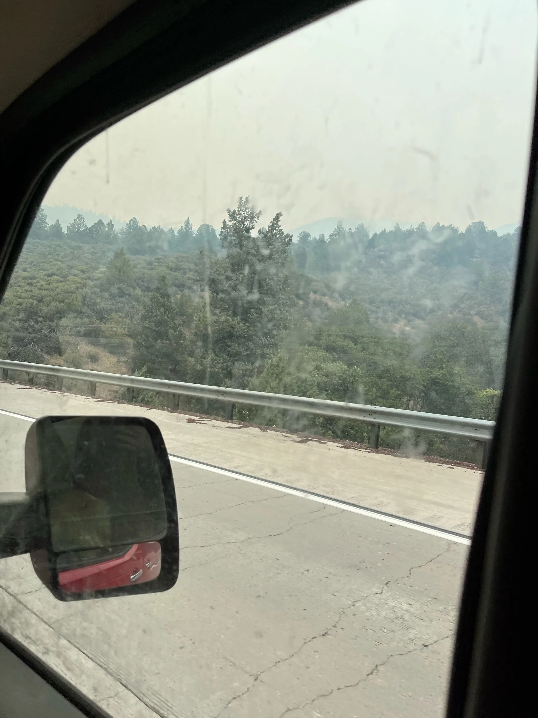
We drove to Ashland as the sky was thick and orange with smoke. It was sad to see and I was glad to be getting out of it and past it. Along the way we stopped at the huge sign welcoming I-5 drivers into OREGON! It was not the border crossing I was originally hoping for, as I had seen many friends who were ahead on the trail take pictures with the California/Oregon border sign on the PCT. I felt a wave of disappointment that I couldn’t get the satisfaction of walking into Oregon on my own two feet after walking 1500 miles of California, but I also felt comforted knowing there was nothing I could do and I was making the safe choice.
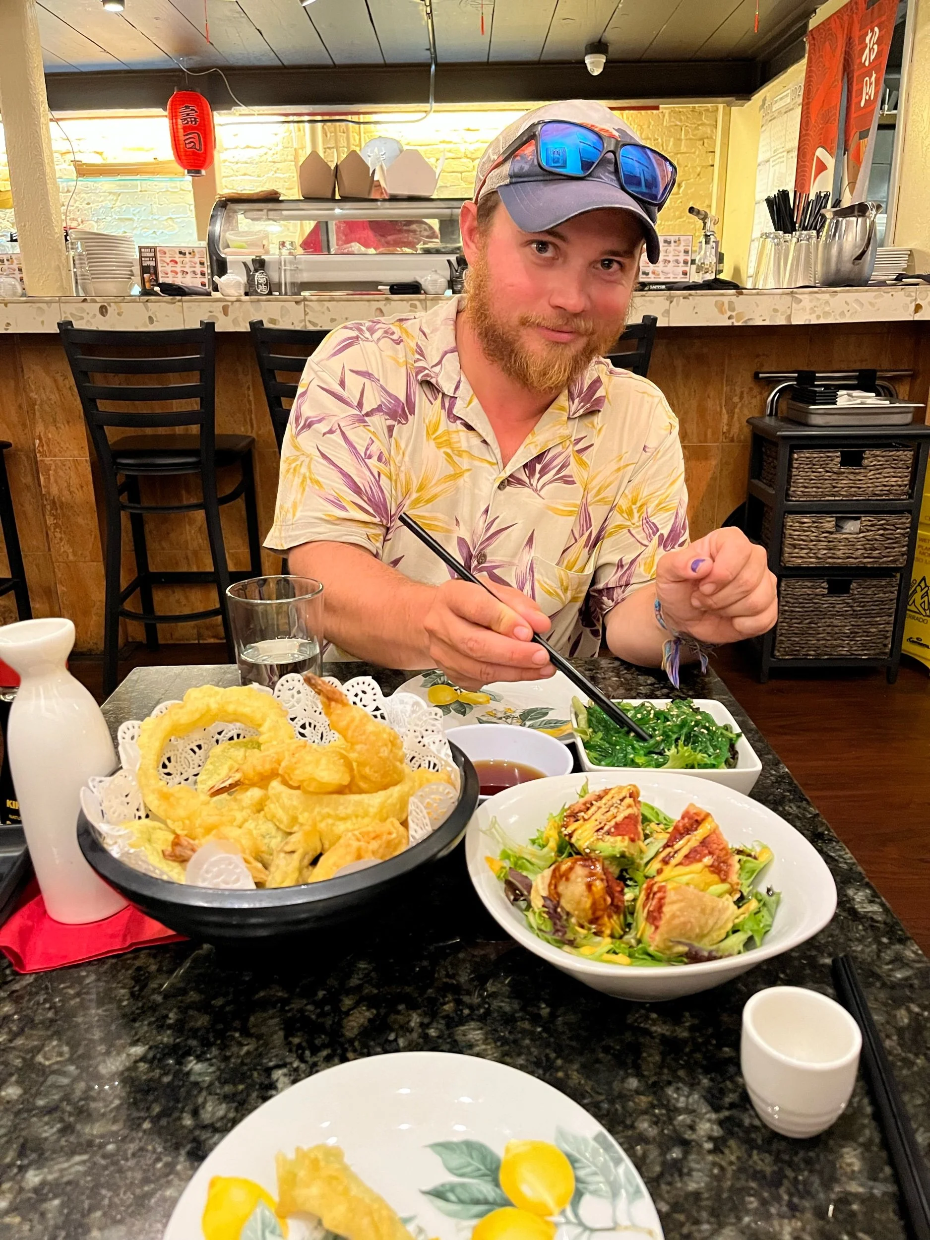
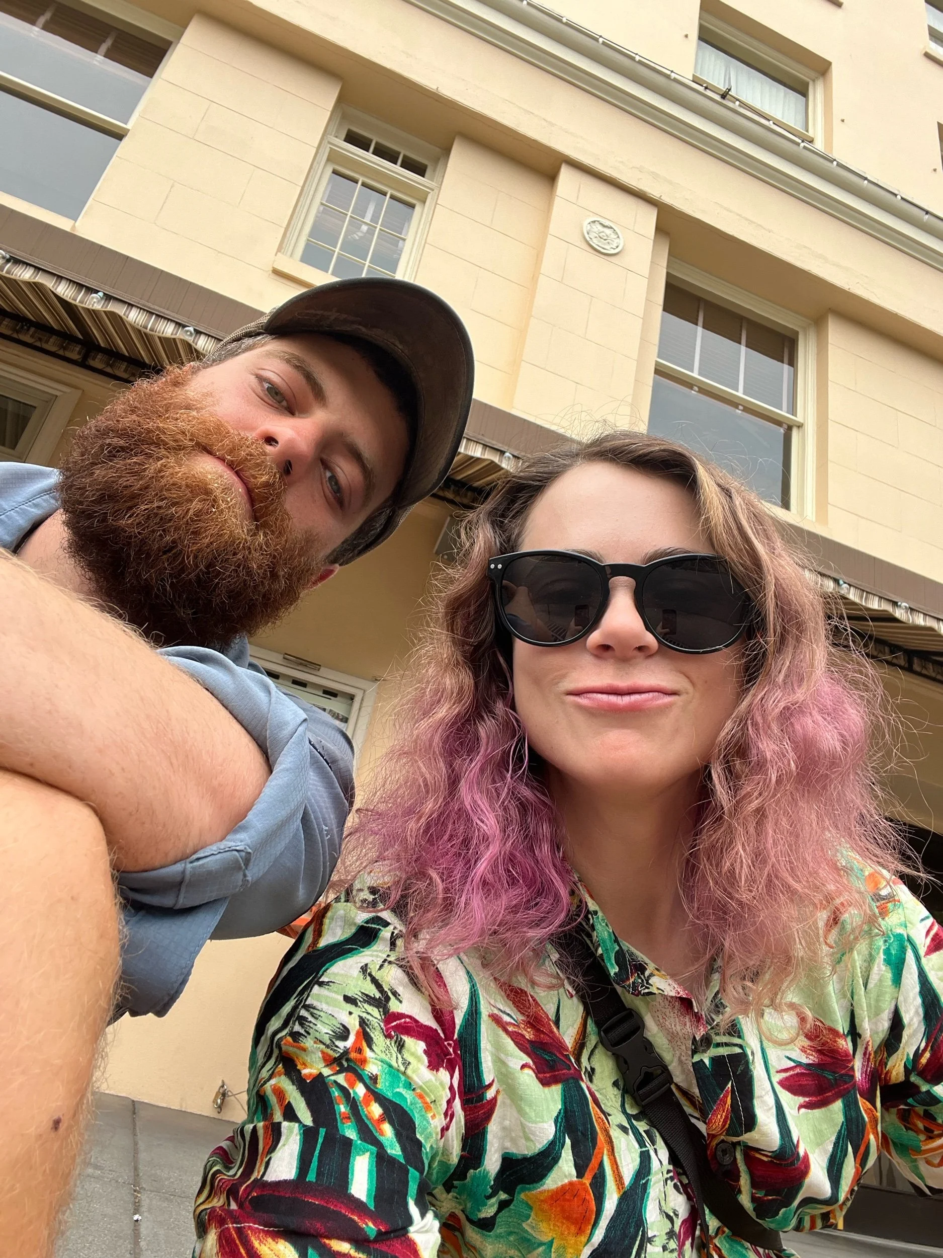
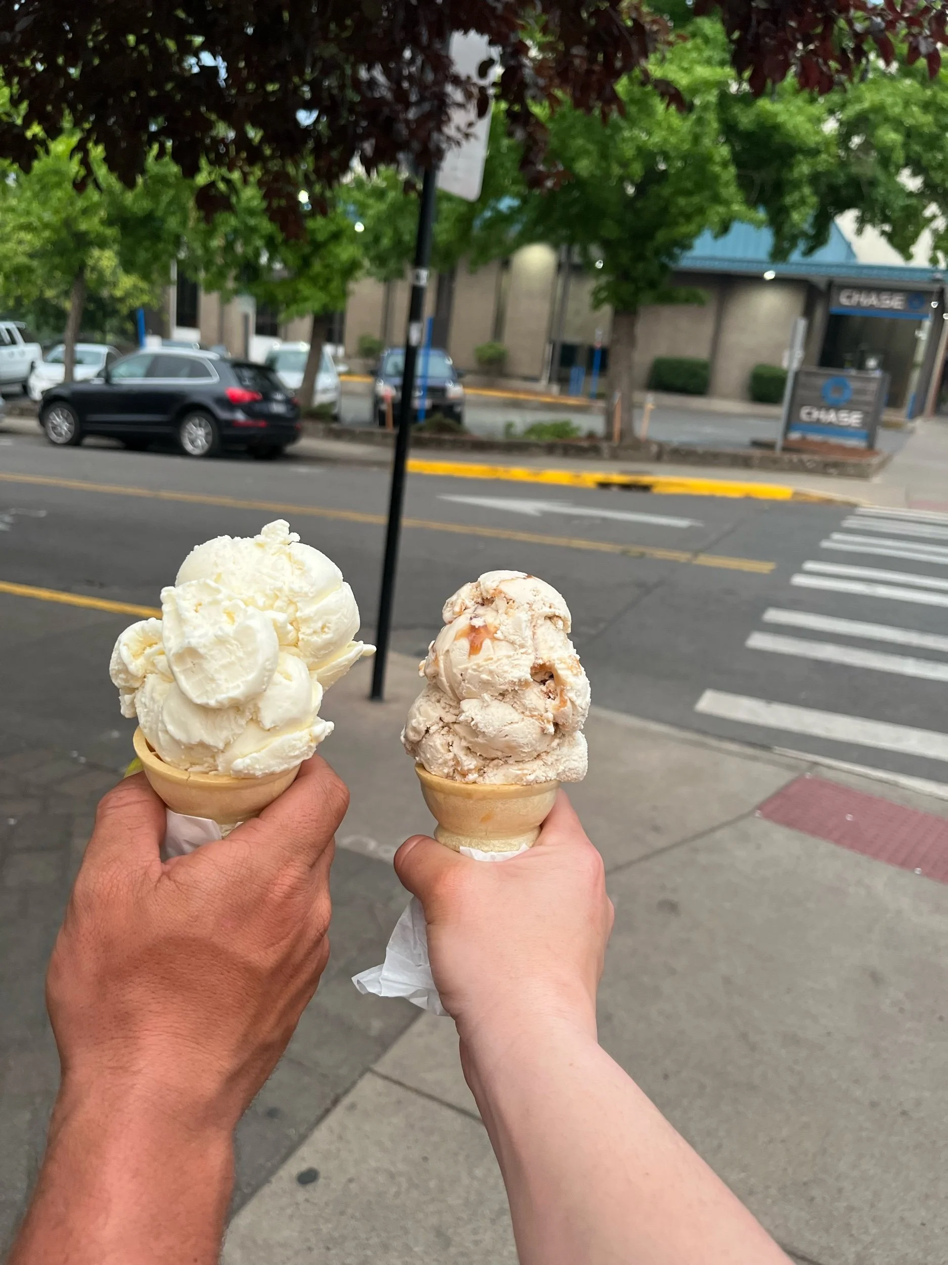
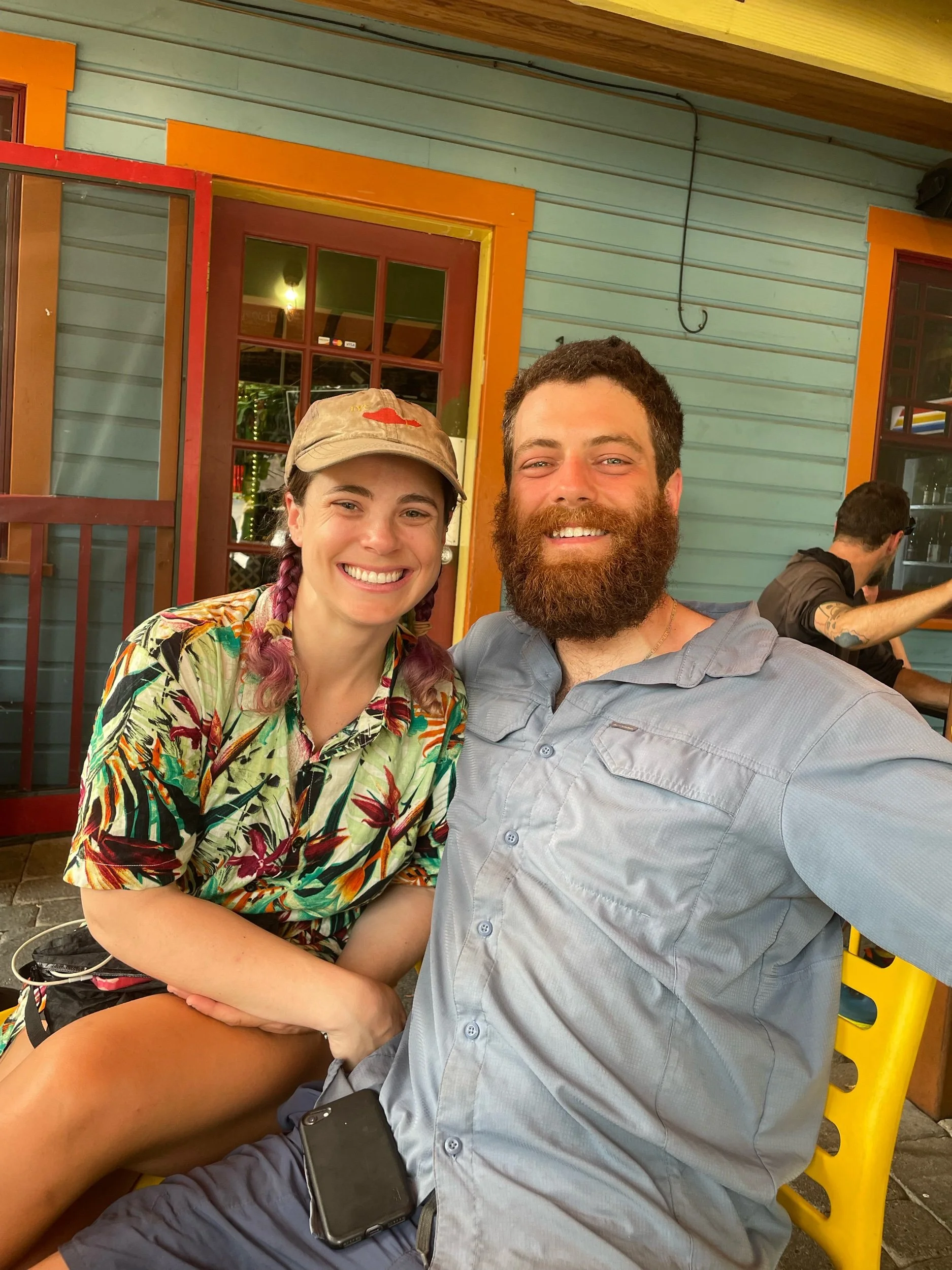
Morgan dropped me off at the hotel where my friend Alex (whose trail name was previously G, but now goes by Spicy Batman) was staying. We had hiked basically the first 450 or so miles of the trail together but hadn’t seen each other since getting separated around Acton. It was great to see him and hang out for the day. We caught up, walked to get sushi for dinner and ice cream after. The smoke was terrible even in Ashland and it made me nervous for Alex as he was trying to hike out from Ashland the next morning. I convinced him it wasn’t safe in the current conditions; he ultimately decided to skip ahead to Bend.
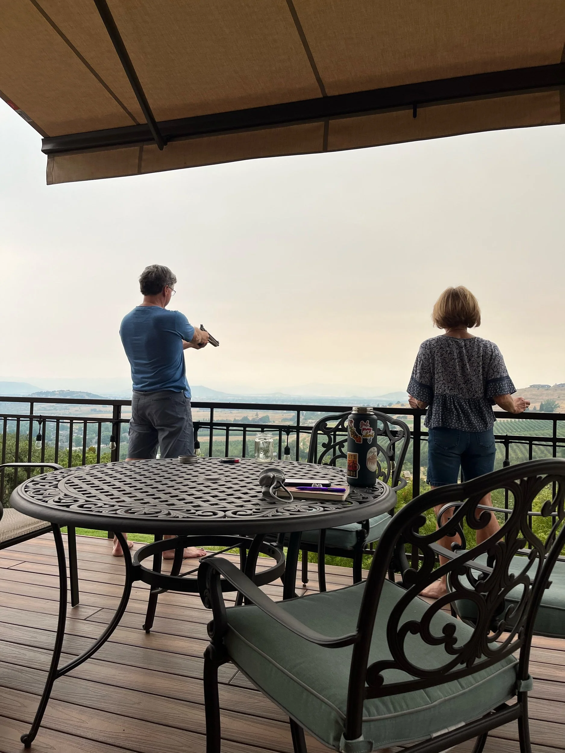
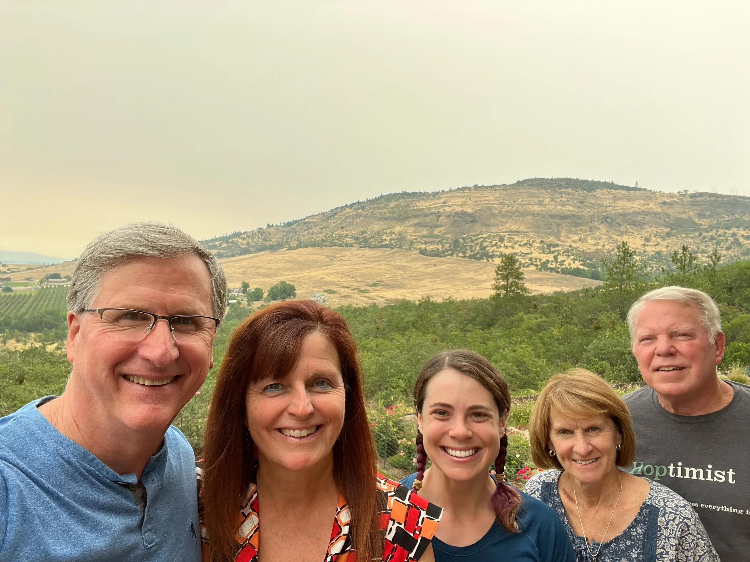
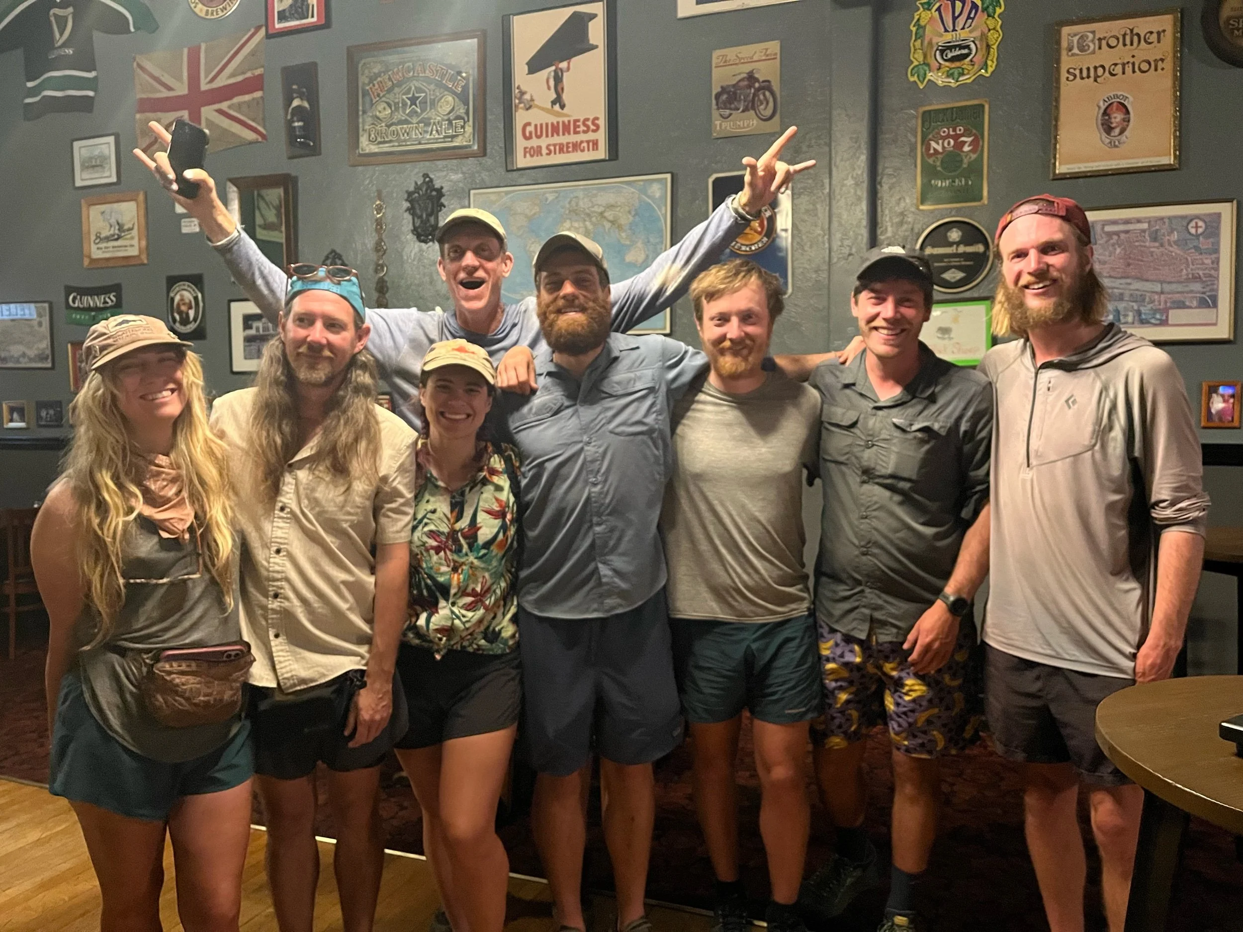
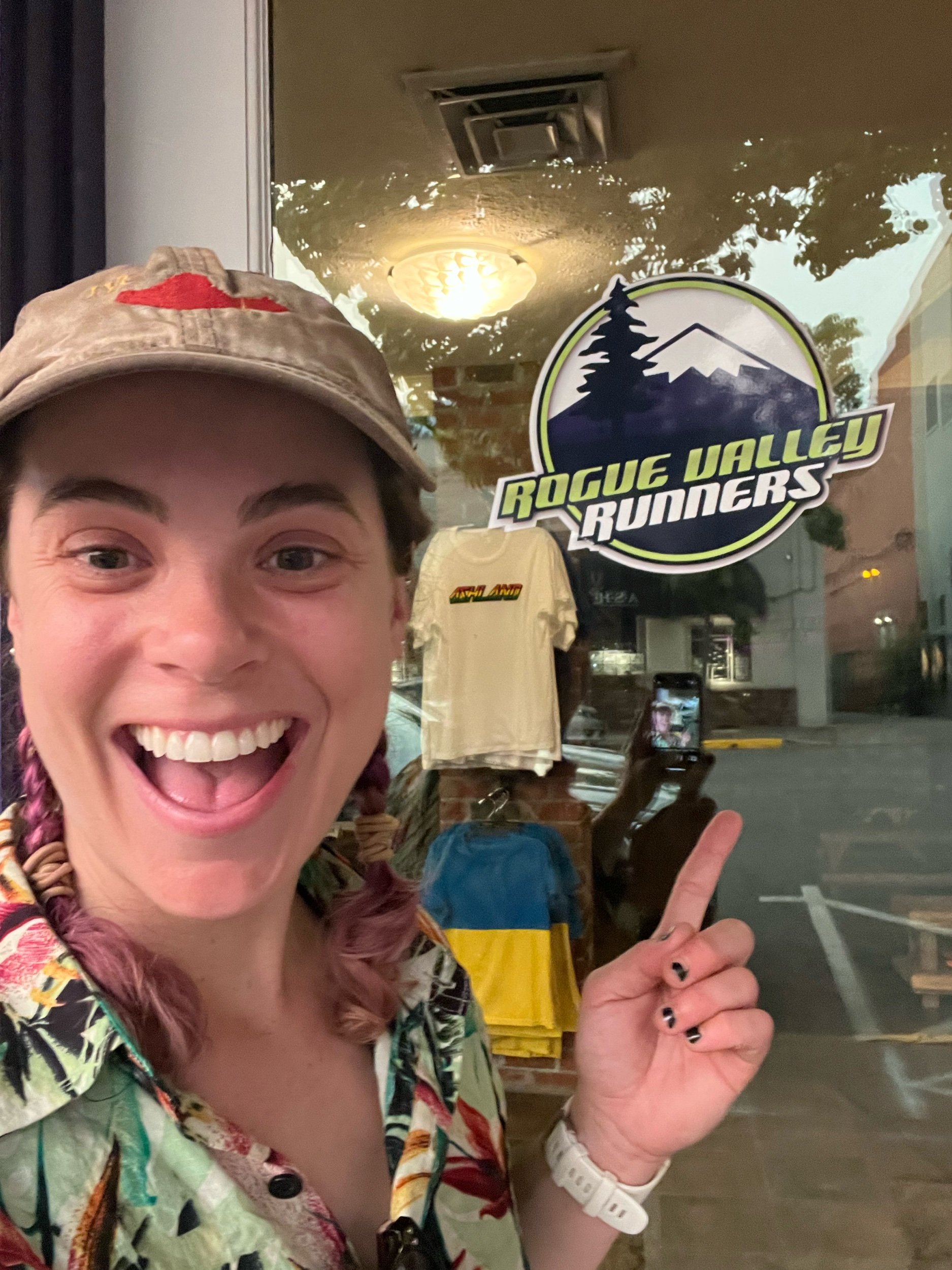
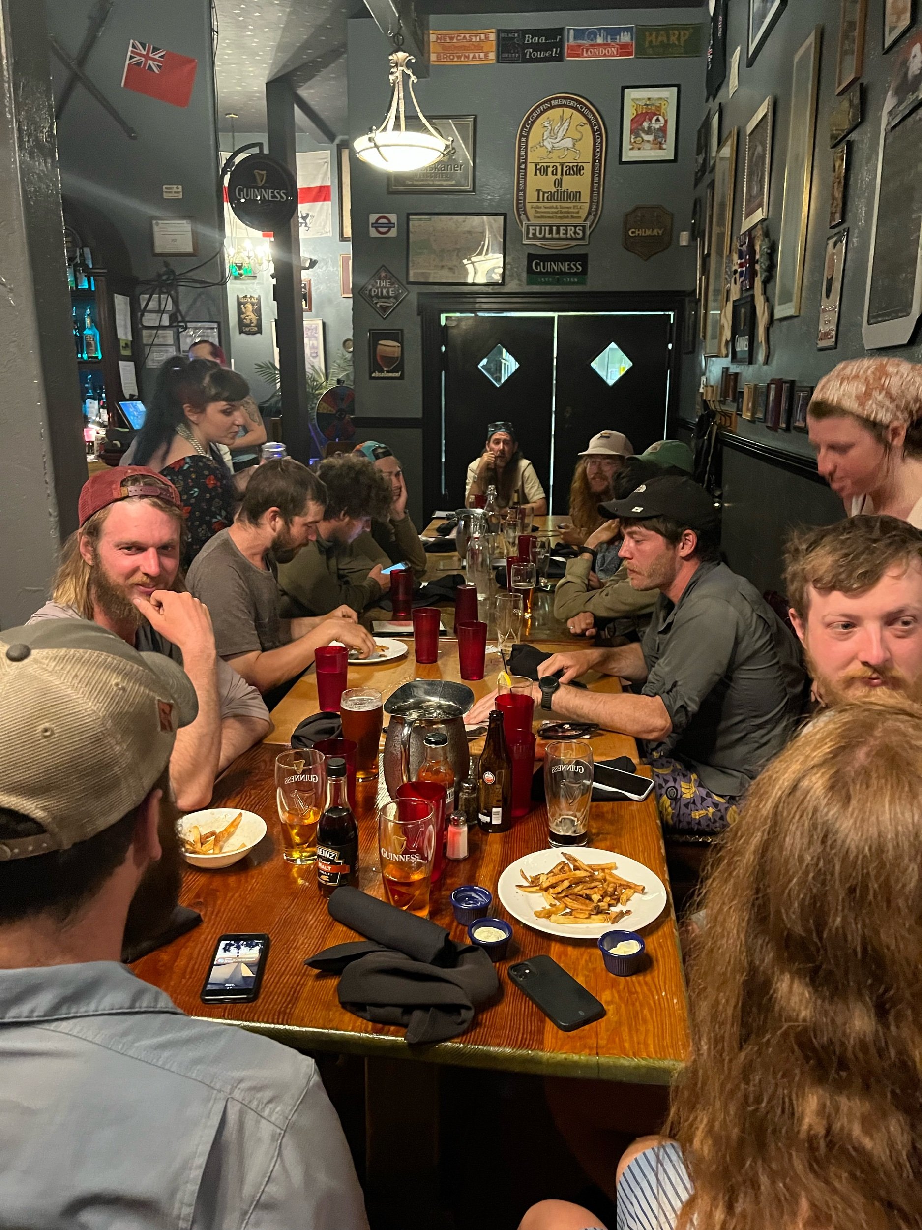
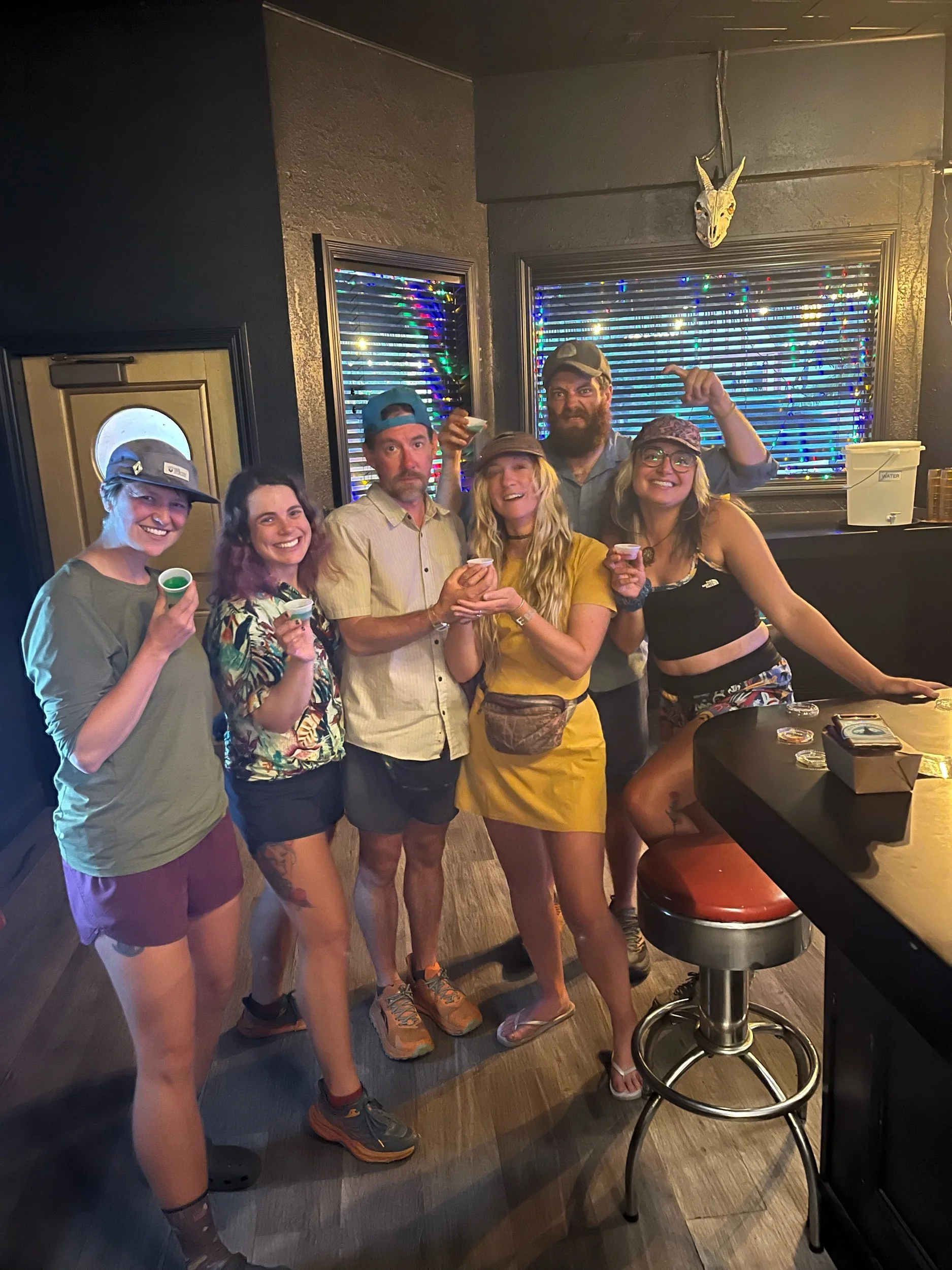
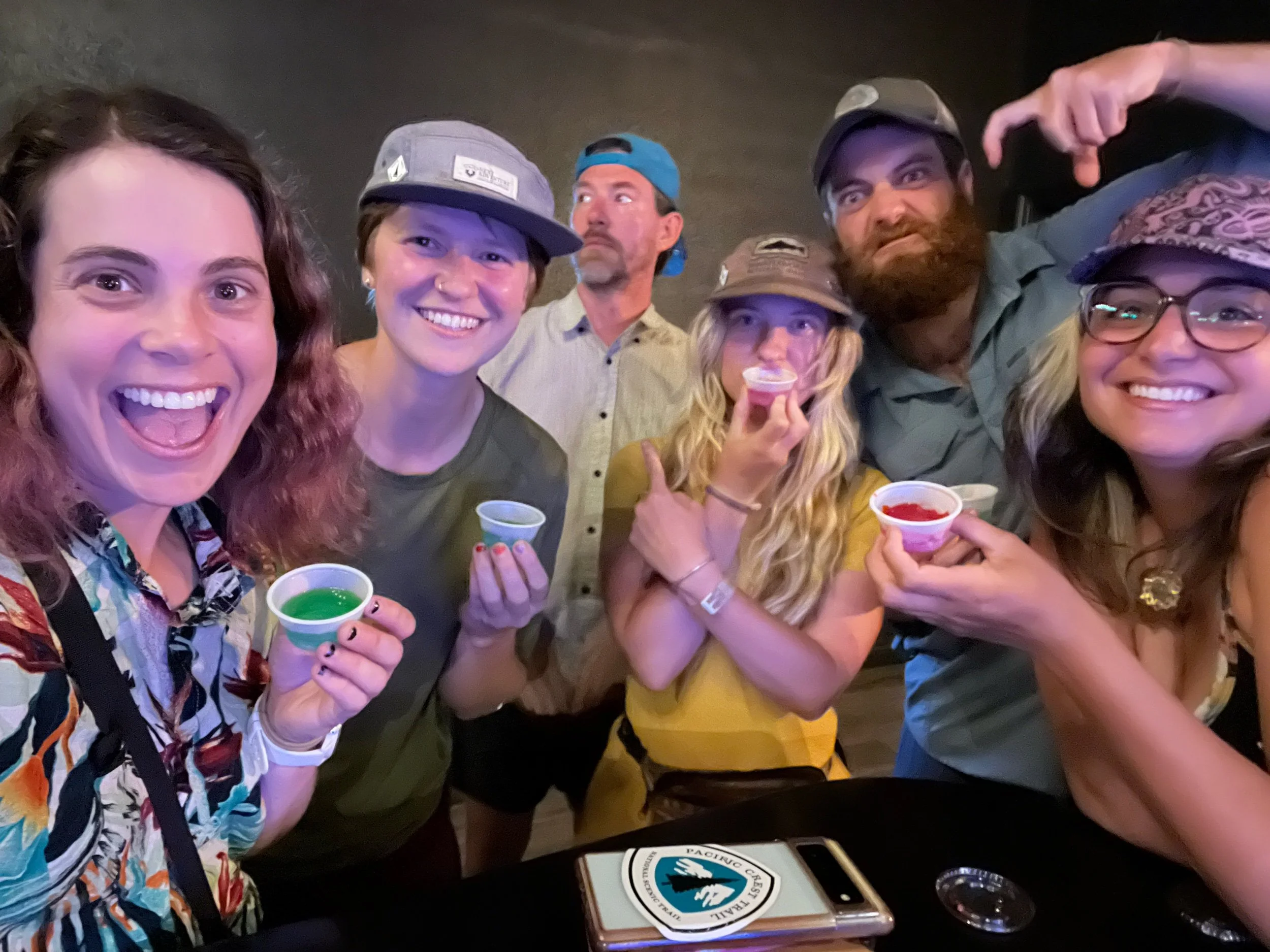
I spent next few days in Ashland staying first with my friend Bryce’s parents at their beautiful home in Medford, and then at an Airbnb with hiker friends and trying to figure out what we were going to do. Another fire broke out in Oregon north of Crater Lake, and then a little further north of that, there is a closure of 20 miles of trail from a fire back in 2020. Our options seemed roughly to be:
Hike out of Ashland, see how far we could get before the smoke got too bad, and then catch a ride to skip around the fires
Catch a ride up to Bend, skipping all the fire closures
Catch a ride up to the Washington border and hike Washington to the northern terminus, then come back and hike Oregon later when the fires were out (hopefully)
Something else entirely
It seemed like every conversation with every hiker we saw or met in town was the exact same- what’s your plan? What are you going to do? What are you thinking?
Ultimately, we landed on number 4: something else entirely. And that something else is… hiking the Oregon Coast Trail! The OCT is generally a much less popular trail, and it’s not a complete end to end trail, which means there’s a lot of road walking and/or hitching a car or even ferries around long stretches of road or mouths of bays. Still, we talked to various groups of hiker friends who were planning to do it and had researched it, and it sounded more and more fun. No smoke, cooler temperatures, hiking on the beach and through the coastal rainforest.
We were convinced. We bought our bus tickets to head to Brookings, near the California border. We later found out that the guidebook and other websites strongly recommend hiking from north to south due to “prevailing northerly winds,” but it was already too late. Oh well, we decided we would try hiking nobo and just see how it went.
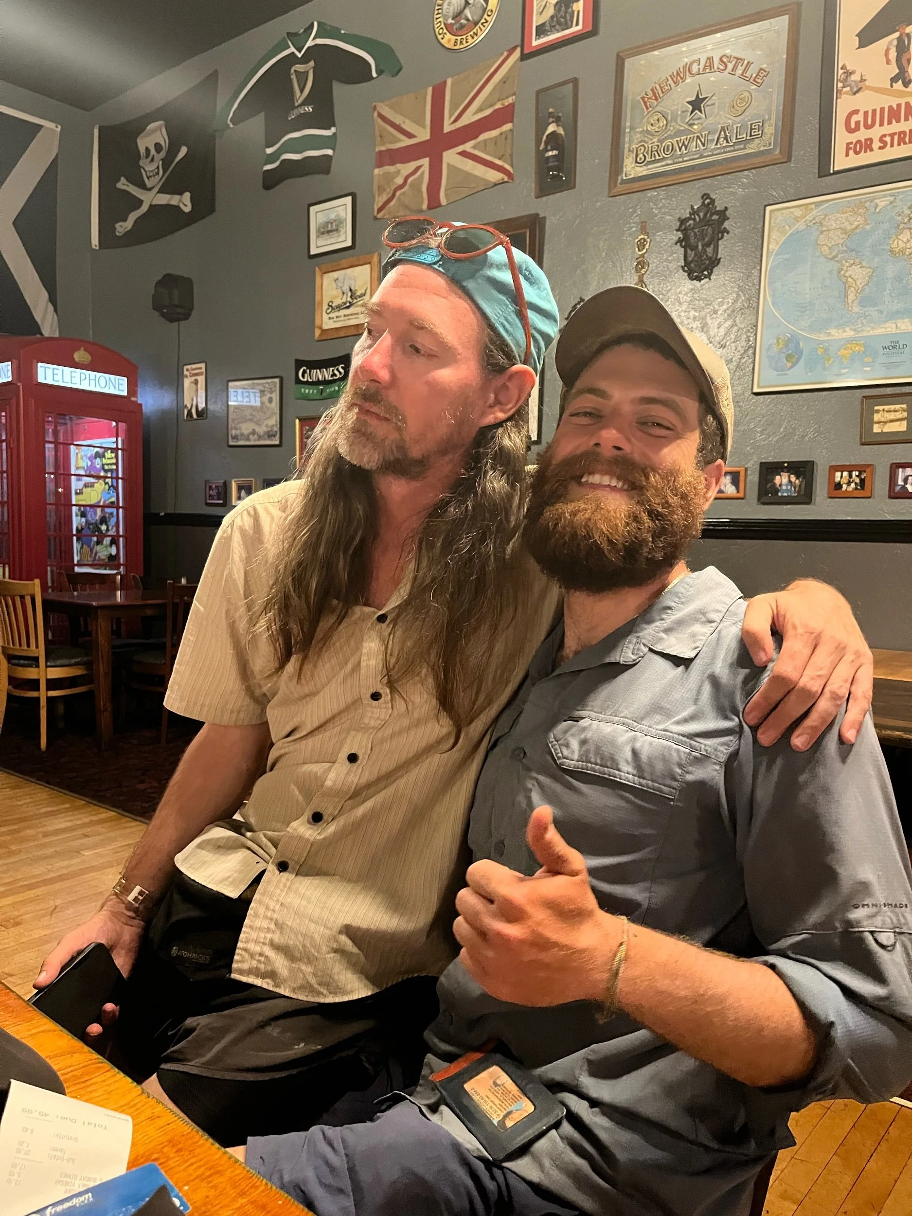
After a fun few days in Ashland relaxing, eating, not hiking miles… we hopped on a bus to our new adventure.